Hello,
I am quite new working with Qfield application.
I created a project on ArcGis 3.28.3 few months ago. The Qfield sync plugin installed is 4.12.2.
Once I ugraded the Qfield app to 3.4.7, the Geopackage layer is not visible anymore on the map of the app whereas it is visibile on the side bar menu.
It was clearly visible with the previous version of the application I was using up to now.
Do you have any idea to help me fixing this problem?
Regards,
Coralie
Imported from GitHub discussion by @aubercor on 2025-02-12T10:07:16Z
Hi aubercor
Sometimes issues arise when changes in the schema of the GeoPackage are made. To resolve this, we recommend exporting your layer as a copy. Right-click on the layer and select “Save as…”. After exporting, you can copy all the styles from the original layer and paste them onto the new layer.
Alternatively, utilize the core processing called “Refactor fields”.
Could you confirm if this workflow resolves your issue?
Imported from GitHub comment by @SeqLaz on 2025-02-12T16:50:10Z
Hello SeqLaz,
I do not really get what I should do.
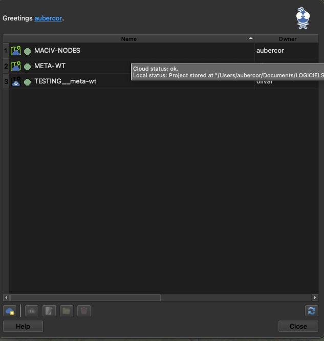
Do I have to re-create a new project by hitting the Qfield project button (blue cloud)?
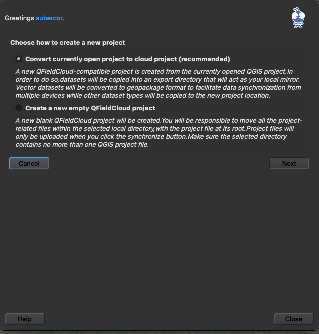
I created the project using the first option: convert currently open project to cloud project
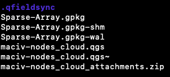
The project folder for QGIS contains:

The project folder for CLOUD contains:
I tried to re-create the project for the Cloud and re-synchronize it to the cloud but nothing changed.
Can you give to me more details?
Regards,
Coralie
Imported from GitHub comment by @aubercor on 2025-02-14T07:30:07Z
Could you try the steps in the following document (use the same project, but create new GeoPackage with the layers)?
Workflow fixing using refactor field 001.pdf
Imported from GitHub comment by @SeqLaz on 2025-02-14T10:54:58Z
Hello,
We have figured out where this problem with the display of points comes from..
Under the Geopackage layer, I had defined “categorized symbols” allowing me to assign a color to points according to an expression.
Categorized symbols are not displayed in the new version of the Qfield application.
Single symbols are well displayed and “ruled-base” symbols as well.
We managed to overcome the problem by using “Ruled-base” symbols and now the points are displayed on the qfield application.
We tried to build our project on a newer version Qgis software in case but the display problem relative to the categorized stmbols remain the same.
I’d like to inform you of this problem so that you can take action if necessary.
Thanks for your support,
Regards,
Coralie
Imported from GitHub comment by @aubercor on 2025-02-15T11:00:13Z
Could you please share a sample project with the Categorized Symbology that isn’t rendering in QField? This will help investigate the issue more effectively.
Imported from GitHub comment by @SeqLaz on 2025-02-17T16:32:58Z
Hello,
Sure, here is my geopackage layer: Sparse-Array.gpkg.zip
In the properties of the layer, then “symbology”, the field “installed” is defined with “categorized”.
I think there’s another feature that isn’t operational.
I declared “longitude” and “latitude” fields. I think it would be possible to modify their values as well as applying the position value of the phone when the GPS of the phone is ON.
We used this feature on a previous project 2 years ago and it was working.
You can see these fields on properties/attribute form.
Did I do something wrong regarding the configuration of these fields or does this have anything to do with the version of the app?
Regards,
Coralie
Imported from GitHub comment by @aubercor on 2025-02-18T08:44:06Z
aubercor , it’d be easier to debug here with an actual project file alongside your gpkg.
Imported from GitHub comment by @nirvn on 2025-02-18T08:47:42Z
Sure, here is the whole project:
MACIV.zip
Imported from GitHub comment by @aubercor on 2025-02-18T08:51:30Z
aubercor , If I open this project with QGIS 3.40, I can also see an issue with the symbology being invisible. QGIS 3.28 is quite old, you should update to the current 3.34 LTR. That should fix things.
Imported from GitHub comment by @nirvn on 2025-02-18T08:56:03Z
nirvn , I actually did it already.
I upgraded QGIS to 3.34 LTR and opened the project with it and then do the whole thing to create the project on the cloud but it did not solve the problem.
Imported from GitHub comment by @aubercor on 2025-02-18T08:59:50Z
aubercor , OK, can you try opening in QGIS 3.40 then? It could be an upstream regression there.
Imported from GitHub comment by @nirvn on 2025-02-18T09:01:02Z
nirvn , I opened in GQIS 3.40 and now, I can see only 1 type of the categorized point on Qfield app (only the installed one).
When I try to change the installed field of a point from true to false, the point disappear from the map.
As well, on QGIS 3.40 software, I can only see the point whose “installed” field is set to true.
As well as for the “latitude” and longitude" fields, I cannot change their value or set the position of the phone when GPS is ON.
I do not know what to do.
Imported from GitHub comment by @aubercor on 2025-02-18T10:03:41Z
Hello,
I finally managed to solve the problem faced with categorized symbols by using “Rule-based” symbols as follow:
I still face problems to update longitude/latitude fields using phones coordinates (when GNSS is ON) or manually modifying them using qfield app on the phone.
I declared the form as follow:
I am still using QGIS 3.40 as suggested above.
Do you have any ideas?
Regards,
Coralie
Imported from GitHub comment by @aubercor on 2025-02-21T14:26:28Z
Could you open another issue about that, in order to other users to find it easier to help you ?
Imported from GitHub comment by @VxTedxV on 2025-02-22T13:35:03Z
Ok it is done
Imported from GitHub comment by @aubercor on 2025-02-23T16:50:41Z